News Ticker Example     Place Mouse In Box to Pause - Links Are In RED
Weather In Brief
Today we are at the peak of hurricane season 2026 and the Atlantic and Gulf forecast continue to look basically clear for the next 7-10 days. The Americal Model is still hinting at possible development around 22 September. We shall see.
Pretty much the mid to upper 90s thru this week, even the 100 degree mark in some of the western areas, with no relief in sight from the above normal heat and high heat index temperatures for the foresable future.
Moderate to occasionally High risk of heat-related impacts through this weekend, heat indices 105-110. If outside drink LOTS of water and take LOTS of breaks.
Continued chance for seabreeze-driven showers and storms each afternoon and evening through Friday.
Here are some 'Quick Links':
Have or know of an ouside event that may be of interest to the Coastal Bend? Hit the above CONTACT button and let us know and we will add it to the scroll.
END of Scroll
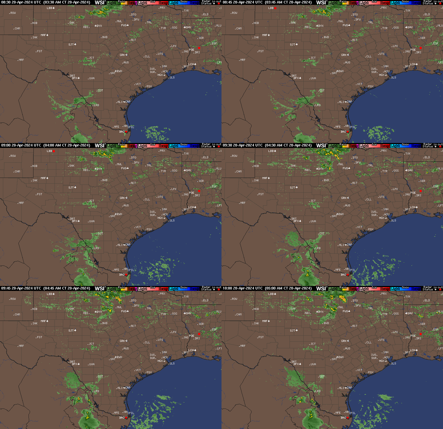
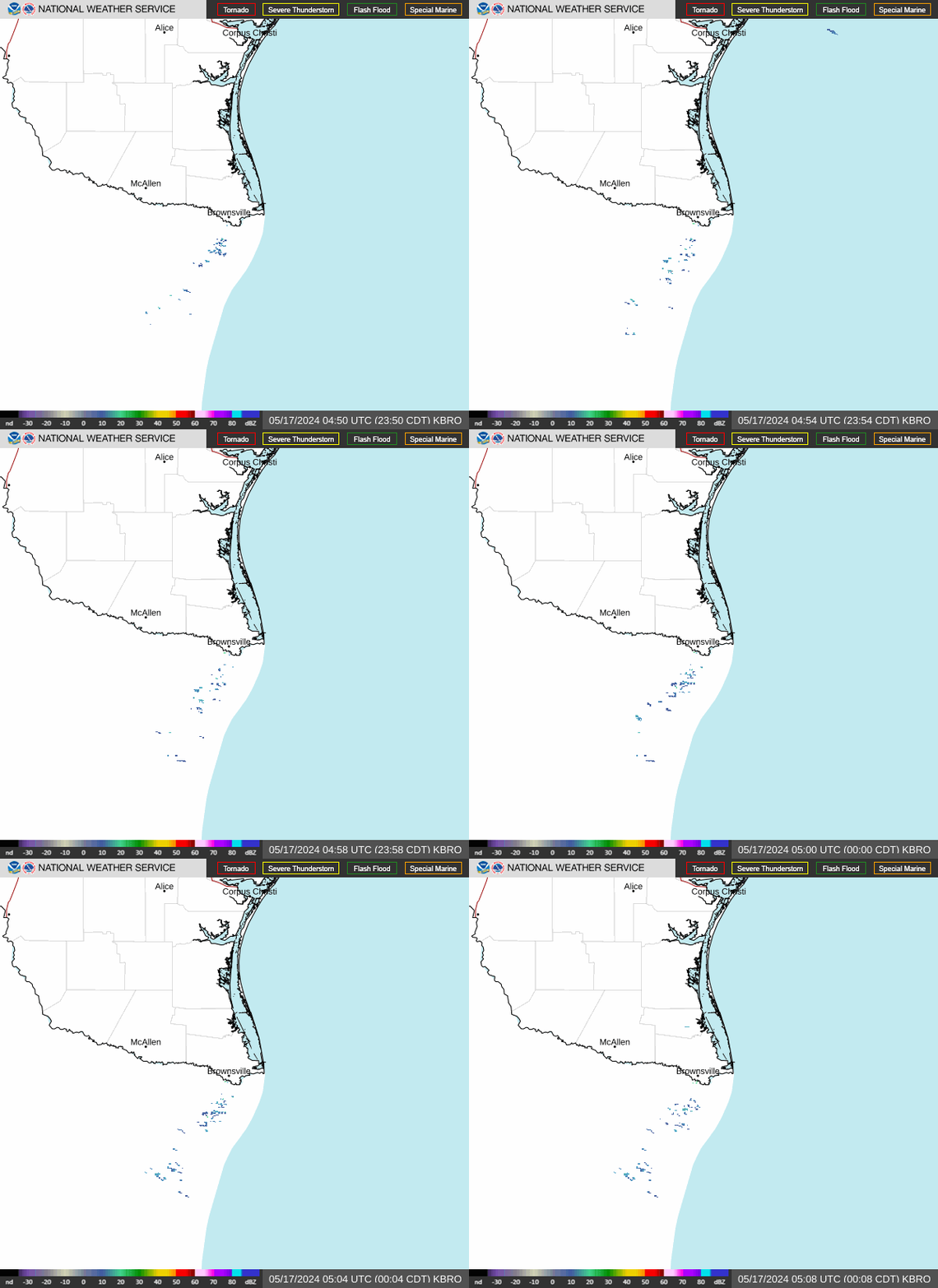
Tropical Outlook State Radar Brownsville Radar

Local Weather Offices

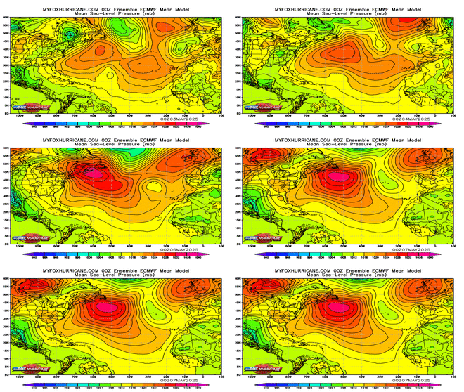
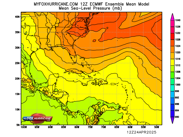
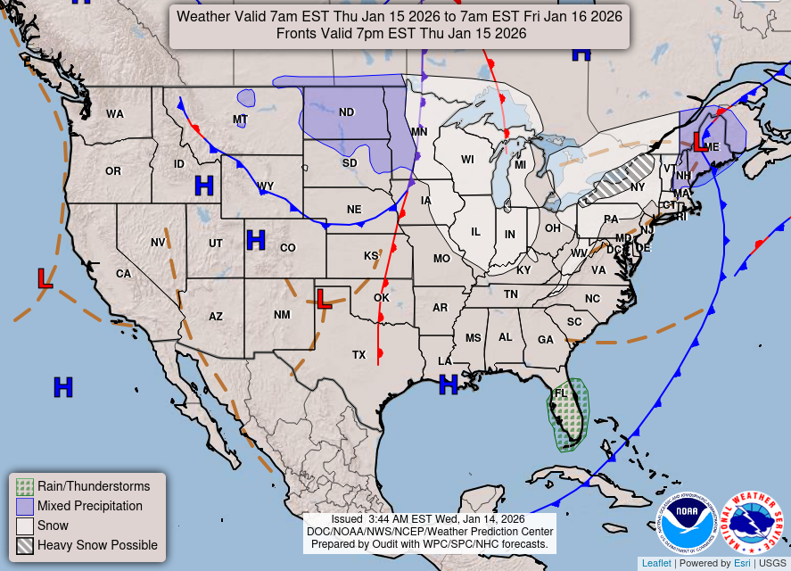
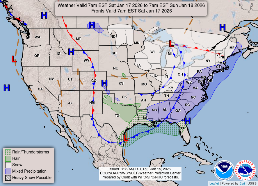
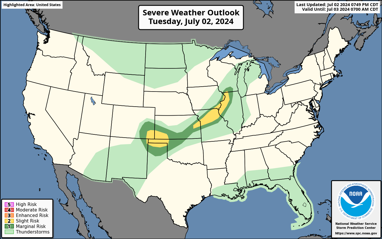
Severe Weather Outlook National 3 Day Forecasted Pressure
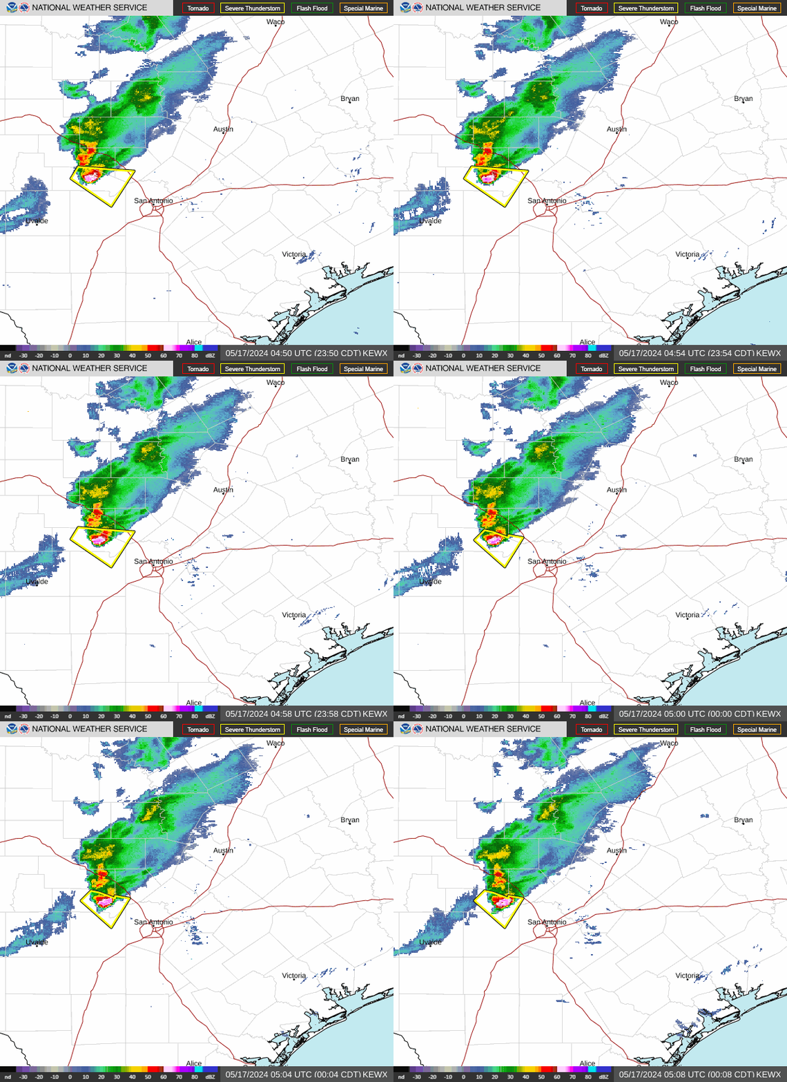
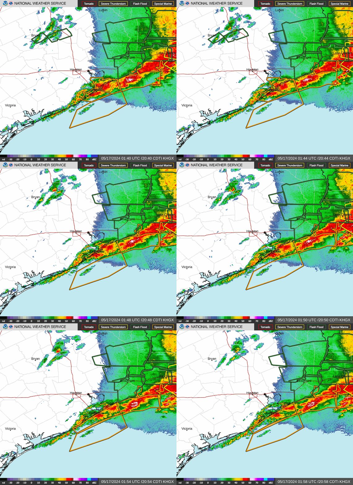
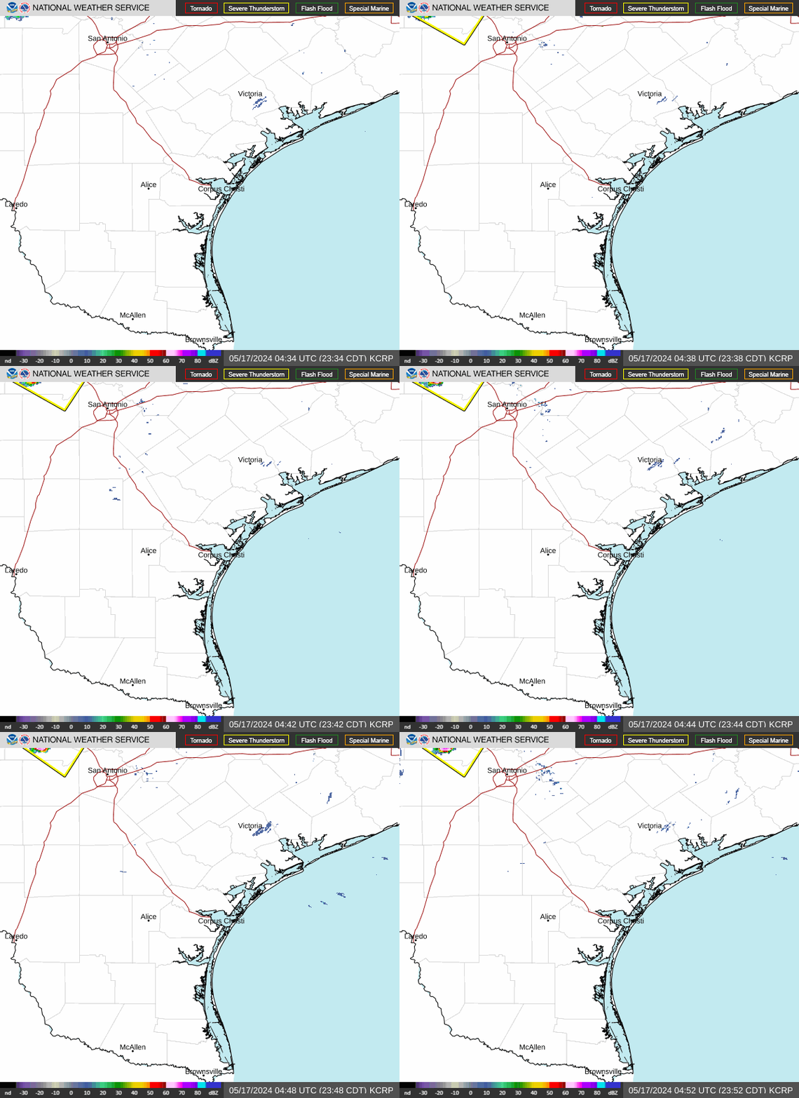
Corpus Christi Radar San Antonio Radar Houston Radar
Current Day 1 (Today) Current Day 2 (Tomorrow) Current Day 3