Weather In Brief
PLEASE MONITOR YOUR LOCAL 'OFFICIAL' SOURCES FOR OFFICIAL INFORMATION.
All eyes are on the what we are calling a 'Cool Front' expected to reach Texas mid day Wednesday.
Confidence with respect to the front, while differing from run to run on the timing as well as how far south the front goes before stalling, is beginning to increase with regards to the associated rain. Beginning Thursday, daily high temperatures will be in the mid to upper 80s due to cloud cover and rain.
Expect an increase in rain chances starting midweek, with a potential for localized heavy rainfall totals (3-6 inches) through Saturday. Likely to see localized flooding the beginning Thursday.
Here are some 'Quick Links':
Have or know of an ouside event that may be of interest to the Coastal Bend? Hit the above CONTACT button and let us know and we will add it to the scroll.
END of Scroll
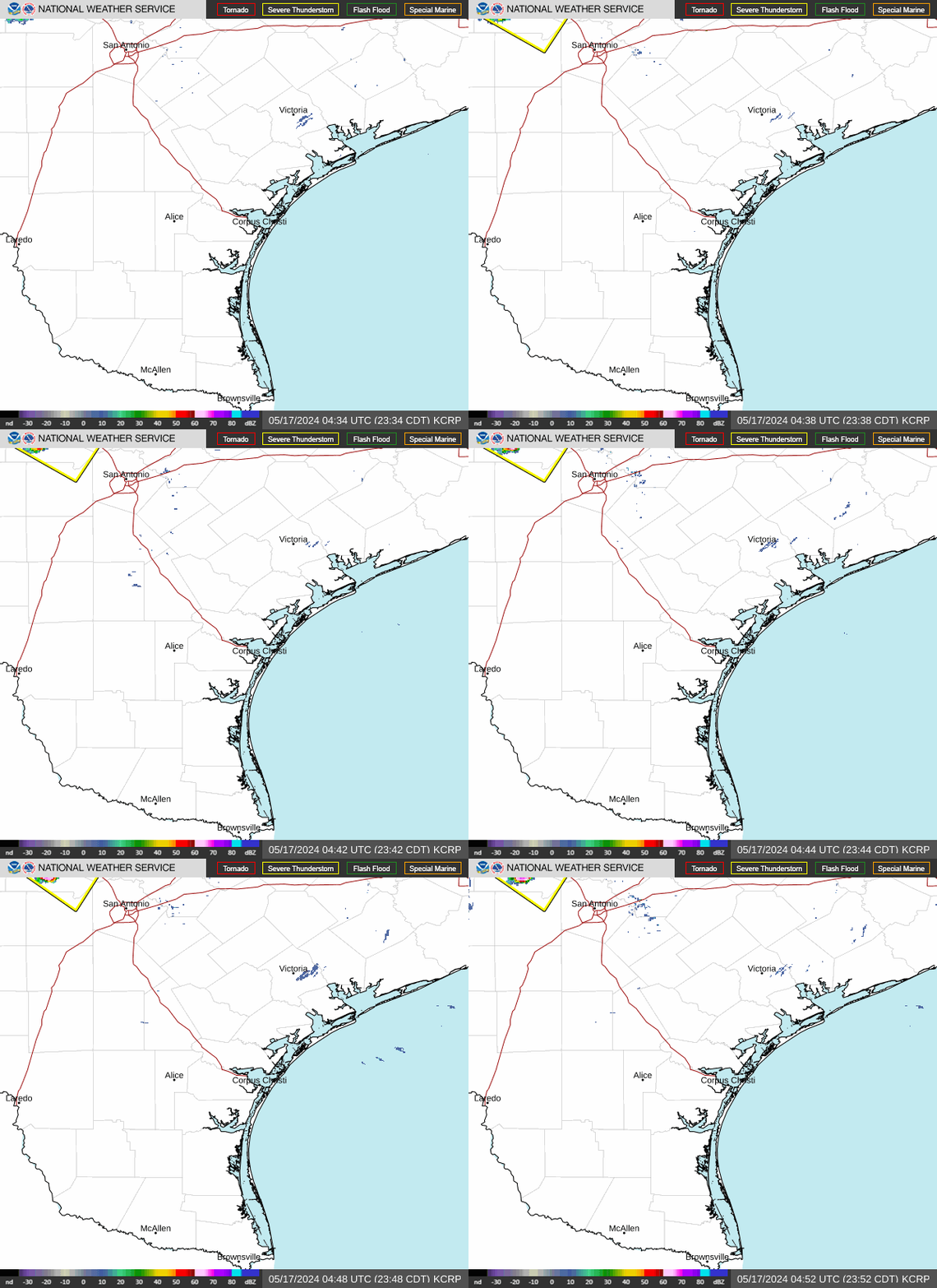
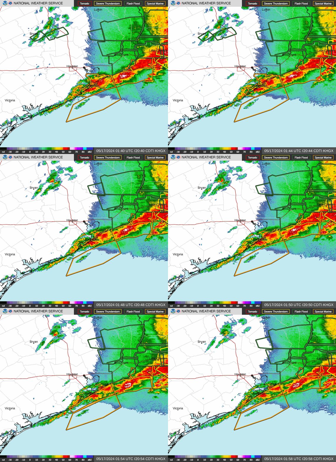
REGIONAL RADARS - NORMALLY ONLY A 5 MINUTE DELAY - PAGE WILL REFRESH AUTOMATICALLY - CLICK ON RADAR FOR LARGER VIEW
Brownsville TX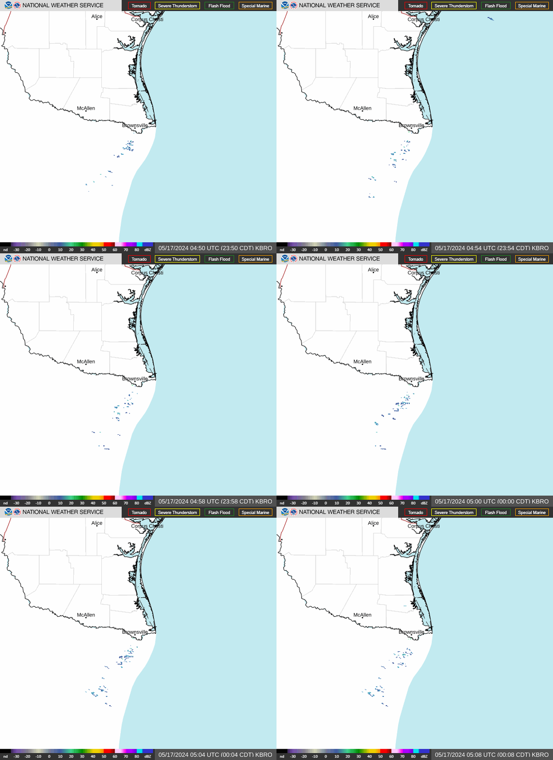 Corpus Christi TX
 Houston TX
 Lake Charles LA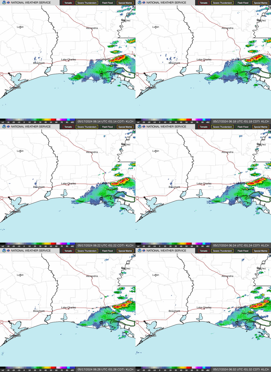
Corpus Christi TX
Houston TX
Lake Charles LA
Western Louisianna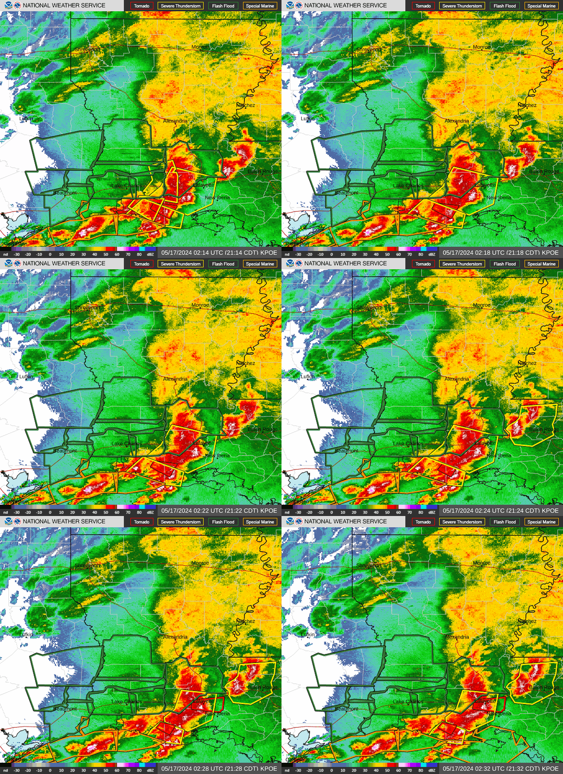 Mobile, AL
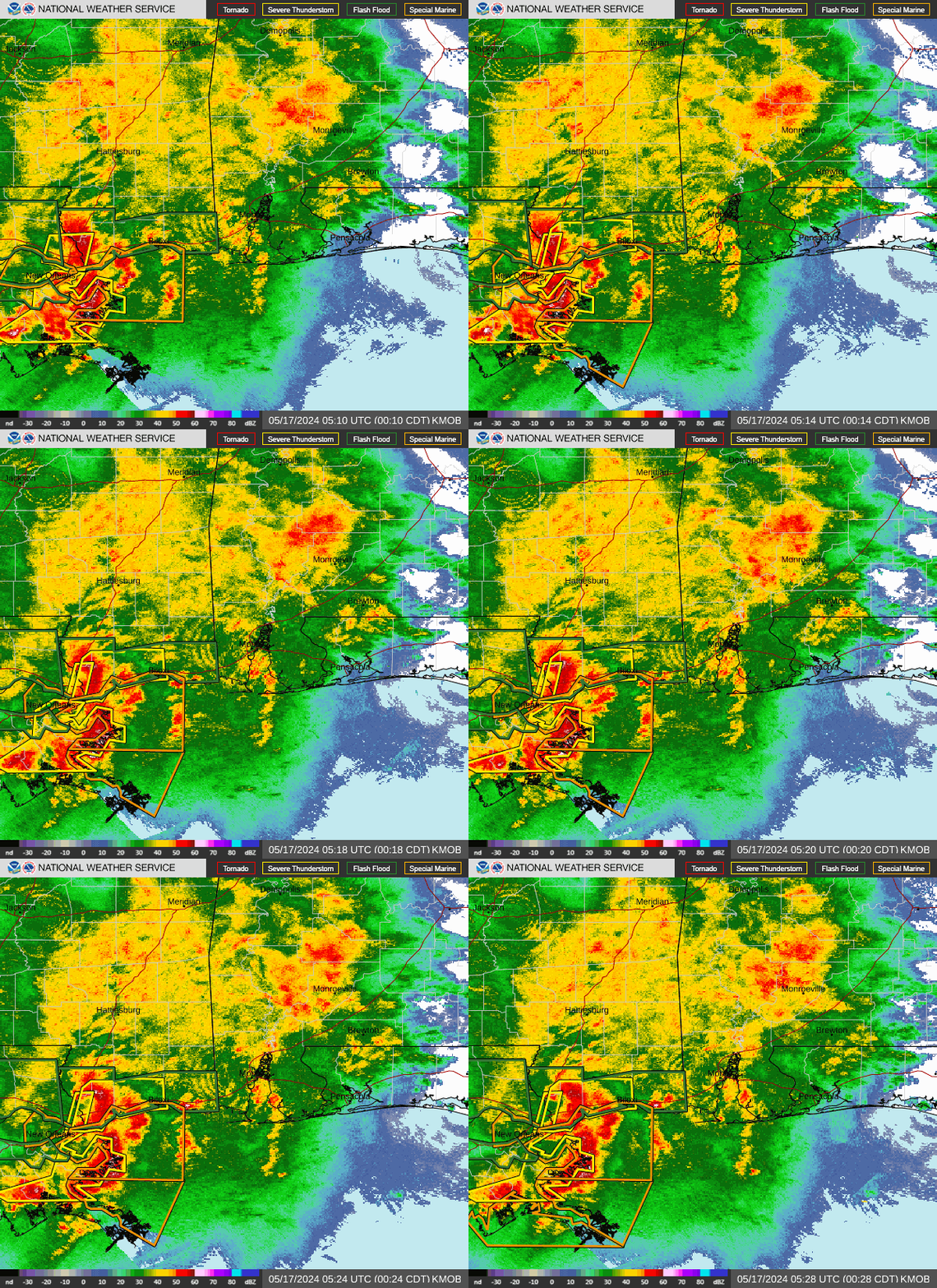 New Orleans LA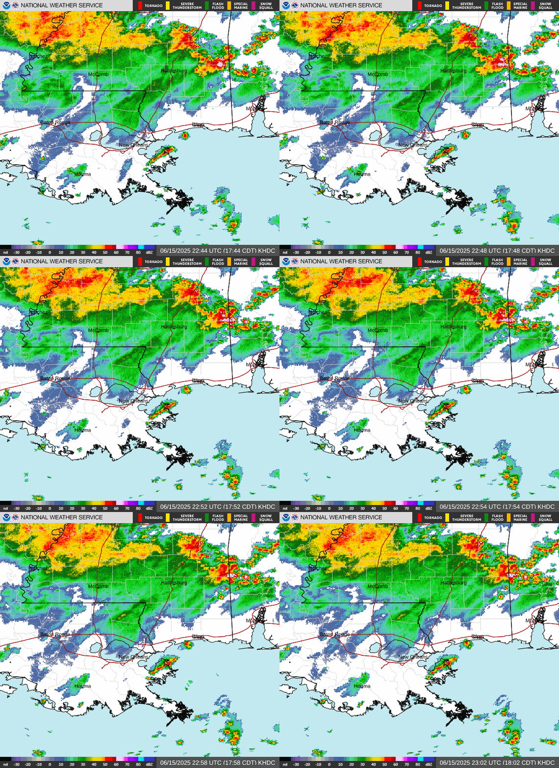
Mobile, AL
New Orleans LA
Western Gulf Coast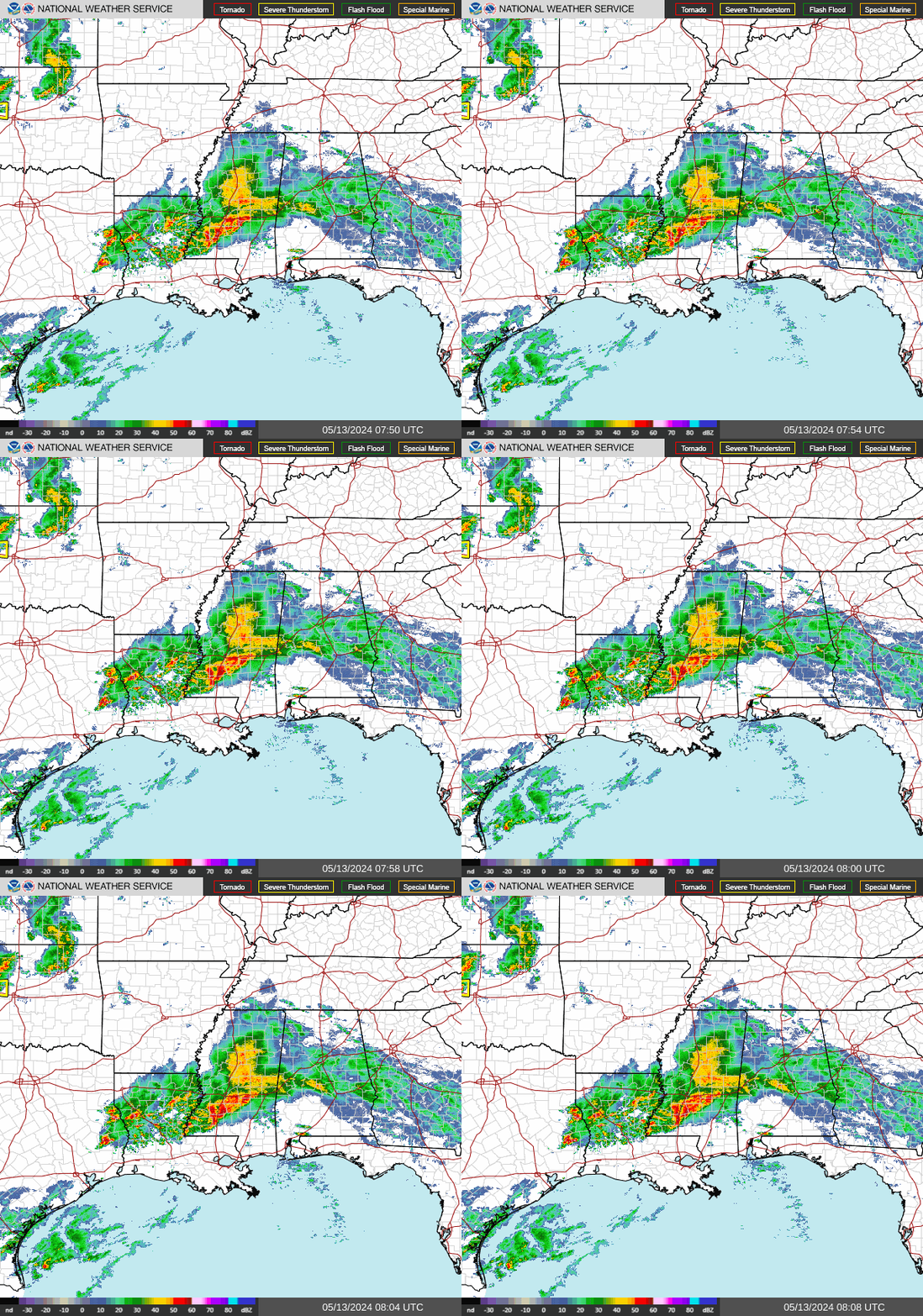 Eastern Gulf Coast
 East Coast
Eastern Gulf Coast
East Coast
Amarillo TX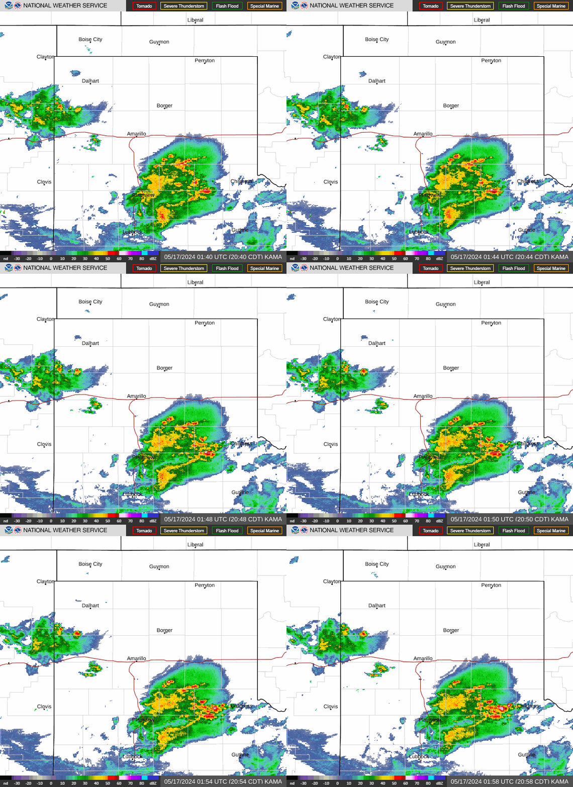 Dallas TX
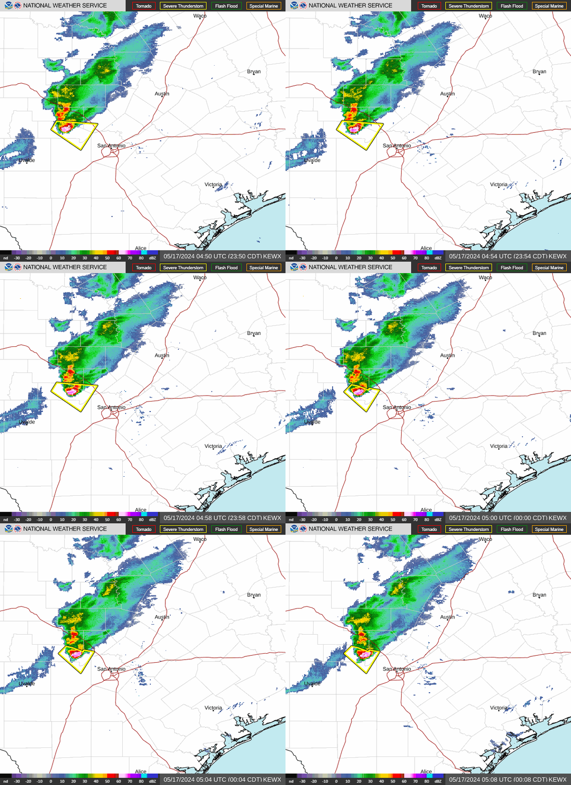
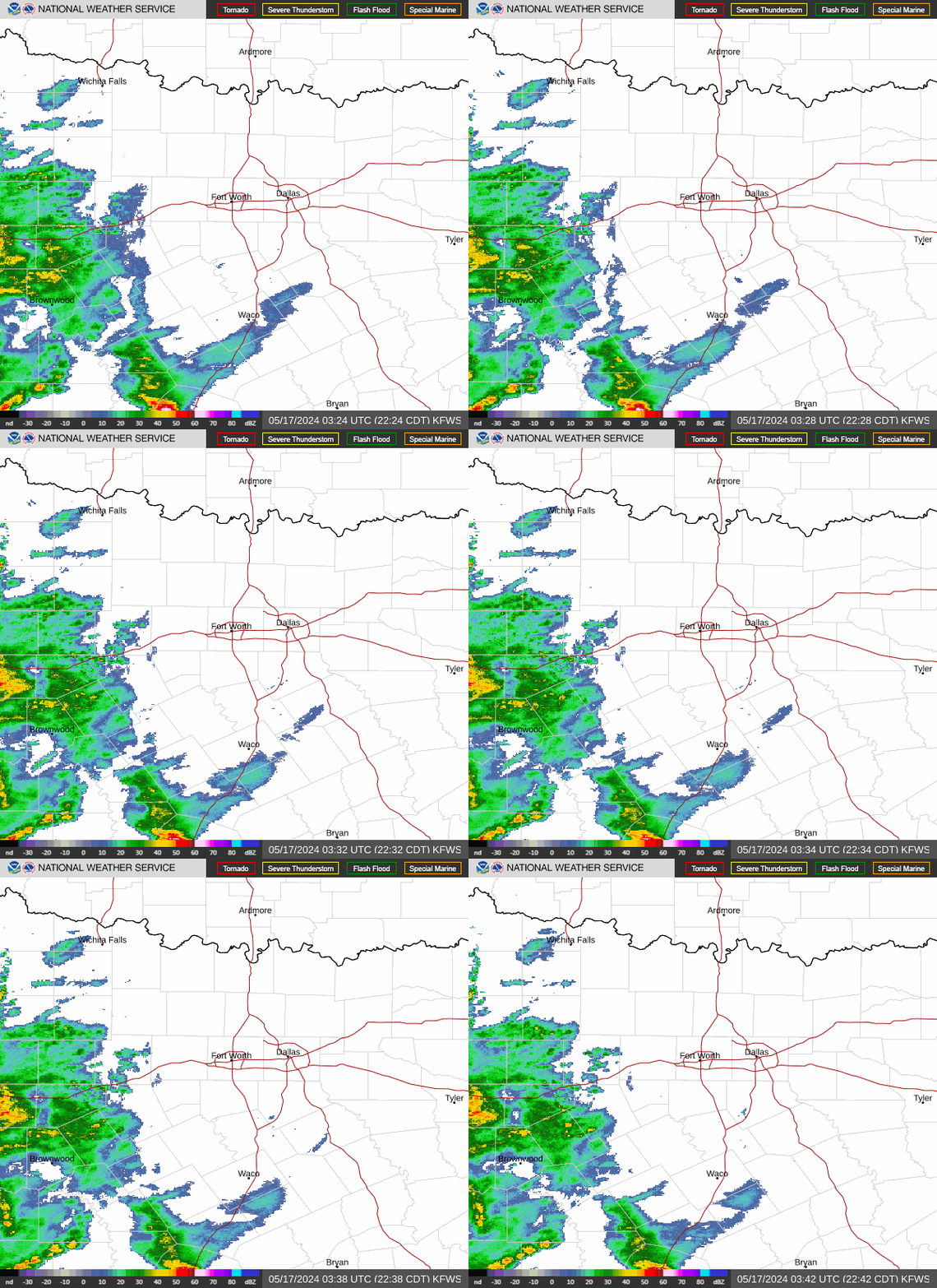 San Antonio TX
 Midland TX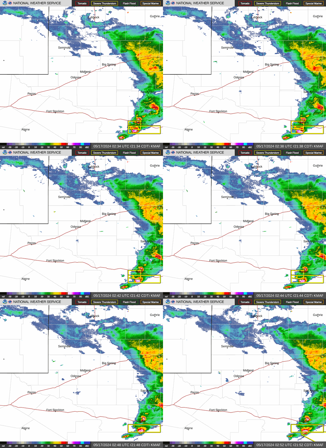
Dallas TX
San Antonio TX
Midland TX