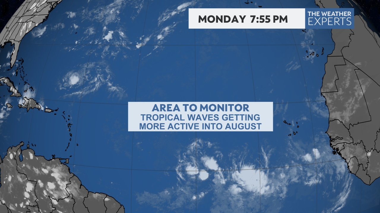
Current STORMS/INVEST AREAS/AREAS OF INTEREST ****ALWAYS USE OFFICIAL INFORMATION FOR DECISION MAKING****

LATEST SATELITE VIEWS (Use Scroll Bar On Right)

Visible (red) Imagery for S. Texas/Southwest Gulf

Live Weather Radio - Click On Link Below

LOCAL WEATHER SERVICE HURRICANE STATEMENTS - *When Posted*


Use Your Mouse To Move/Zoom, etc

Click On Any Box For Larger View


 For 'Official Information' ALWAYS rely on the official information sources from your immediate area officials for information and instructions.

Use Your Mouse To Move/Zoom, etc

Other Radars:

Latest ERIN DISCUSSION -- Automatically Updates

Latest ERIN ADVISORY -- Automatically Updates

Tampa Bay Fl Radar:

Storm ERIN
      To Pause, Place Mouse In Box

ERIN, pretty much remains on track per previous forecasts.

The generally westward track, with a future turn to the Northwest, and then a continued turn to the Northeast and back out to sea still is the trend of all models and the NHC.

As ERIN will have no impact on TEXAS or the GULF, pretty much just will leave this page on full auto update for those wishing to monitor it.

We always strive to keep current 'Official' information as well as information from sources that we have trusted over the years on our website and not get people into a panic.

*****

Again, as always, monitor and rely on your local 'Official' weather sources.

We hope you will forward our website info to your friends, neighbors, and family. It is always good to get the word out.

This scroll box will be updated as needed.


****************

Again, remember thatit never hurts to check your tropical activity plans, check your go kits, and be sure to check that your insurance coverage is up to date as we head into what is predicted to be a very active hurricane season.
******************

We hope you will pass our website on to your friends and family
All information on this page for this event is self refreshing to provide you the latest data.
******************

For 'Official Information' ALWAYS rely on the official information sources from your immediate area officials for information and instructions.

EMERGENCY INFORMATION

CORPUS RADAR:

Latest Wind Map View - With Your Mouse Left Button You Can Drag This View

Local Weather Service Info - Click On Link Below

DISCLAIMER: This website, http://www.coastalbendweather.com, is for general information only and not to be used for any official forecast. This site is made to provide as many useful links and information possible for hurricane tracking and knowledge. Please first consult  your official sources, the NWS and NHC before making decisions on any kind of weather event. We are also not responsible for the correctness of maps or data on this page.


Satelitte Floater Views

Water Vapor

Local TV Stations - Click On Link Below

MOBILE AL RADAR: